Garmin

Garmin GPSMAP 64st

Rugged, Full-featured Handheld with GPS, GLONASS and Wireless Connectivity. 2.6-inch sunlight-readable color screen. High-sensitivity GPS and GLONASS receiver with quad helix antenna. Preloaded TOPO EU Recreation 100K maps plus a 1-year BirdsEye Satellite Imagery subscription. 3-axis compass with barometric altimeter. Wireless connectivity via Bluetooth® technology¹ or ANT+®.

GPSMAP 64st
GPSMAP 64st features a 2.6-inch sunlight-readable color screen and a high-sensitivity GPS and GLONASS receiver with a quad helix antenna for superior reception. GPSMAP 64st includes a 3-axis electronic compass with barometric altimeter, wireless connectivity and preloaded TOPO EU Recreation 100K maps plus a 1-year BirdsEye Satellite Imagery subscription.

Explore the Terrain
The GPSMAP 64st comes with pre-loaded recreational maps from 44 European countries. The map data includes information about the road network (not navigable), forests, terrain contours, altitude, lakes and points of interest. The handheld has an extensive set of navigation functions, so you can rely on via points, tracks and routes to find your way off the beaten track and with TracBack you can safely find your way back.

Get Your Bearings
GPSMAP 64st has a built-in 3-axis tilt-compensated electronic compass, which shows your heading even when you’re standing still, without holding it level. Its barometric altimeter tracks changes in pressure to pinpoint your precise altitude, and you can even use it to plot barometric pressure over time, which can help you keep an eye on changing weather conditions.
Read more

Garmin Montana 680t

The handheld GPS to go anywhere and everywhere

  • NEW GPS and GLONASS – faster and better satellite fix
  • 4″ outdoor optimised, dual orientation display – best visibility on Garmin’s largest handheld display, for easy readability under any condition
  • NEW Comes with great content preinstalled – Recreational Map of Europe, 250k geocaches from Geocaching.com and 1 year free BirdsEye Satellite Imagery1
  • NEW Adds new Track Manager for better user experience and more control
  • NEW 8MP camera – for high resolution geotagged pictures
  • Most versatile navigation everywhere – most versatile features, display and mounting
  • Barometric altimeter and 3-axis compass
ad-01

Read more

Introducing the Montana 610, 610t Camo, 680 and 680t

25 AUGUST 2015 @ 5:59 AM  / OUTDOOR BLOG /

680t

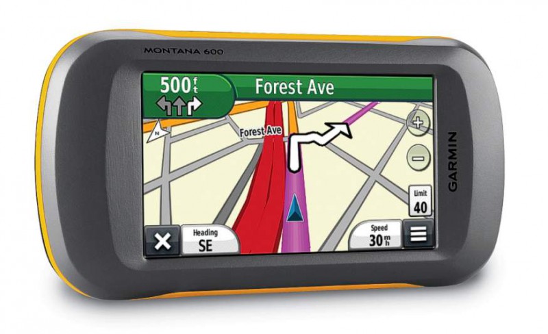
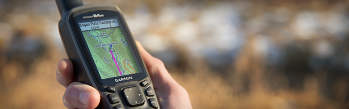
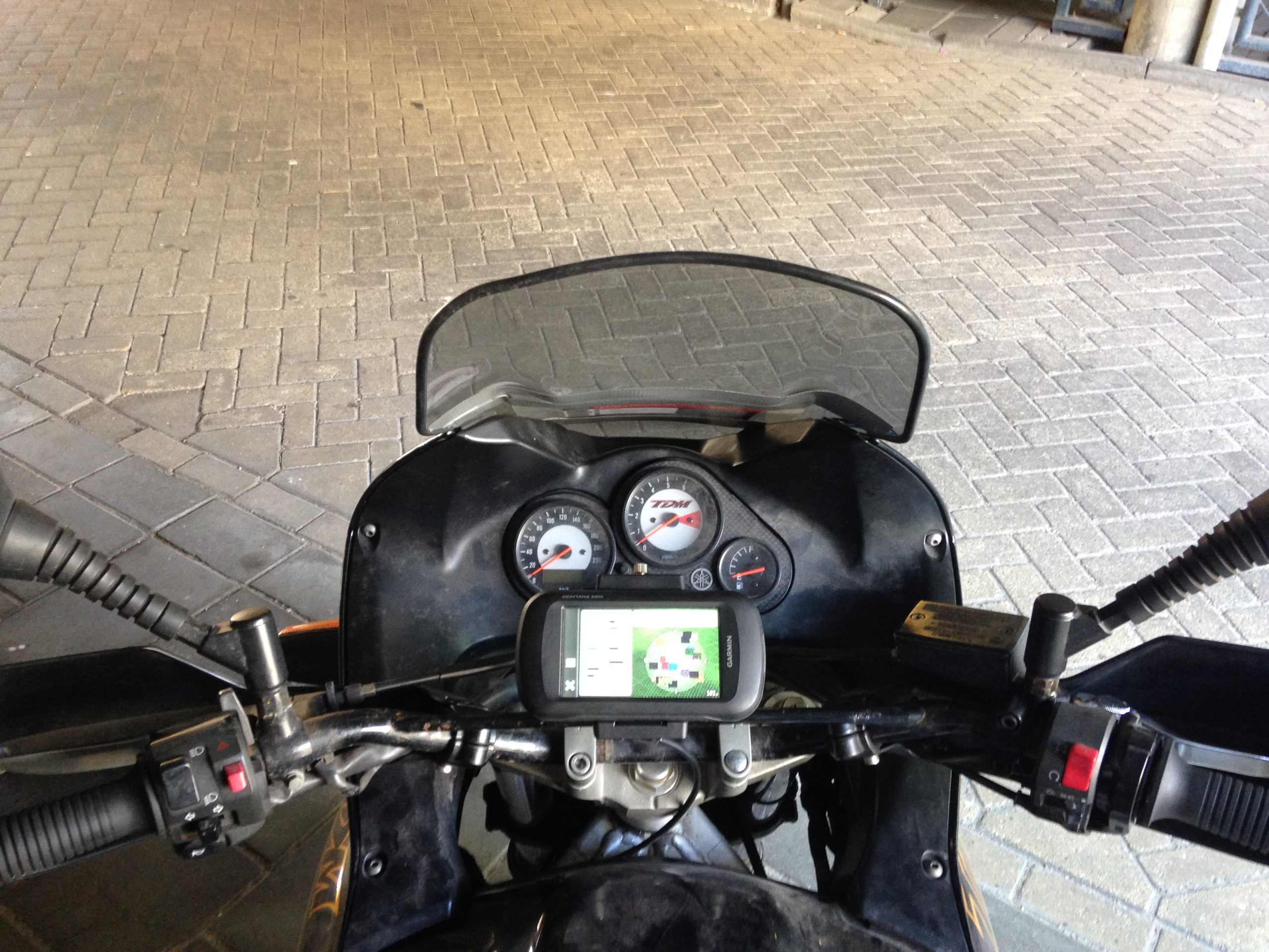
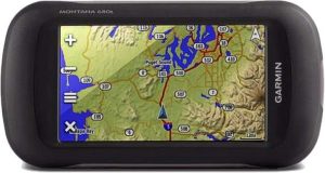
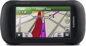
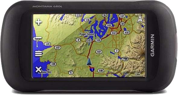
Today we’re excited to announce the Montana 610, 610t Camo, 680 and 680t, adding four new units to the popular line of outdoor handhelds. Featuring an updated 8MP camera for high-quality geotagged photos, the new Montana 600 series units now have GLONASS support for improved positioning and quicker fixes, as well as 250,000 preloaded geocaches and storage capacity for millions more. The new Montana 600 series feature a ruggedized design with multiple mounting and battery options, and support for a wide range of Garmin cartography, including a free subscription to BirdsEye Satellite Imagery on all units and preloaded TOPO US 100K on the 610t Camo and 680t.

“The new Montana units are ready and able to handle anything our users get themselves into,” said Dan Bartel Garmin vice president of worldwide sales. “From navigating lakes or waterways on your boat, trekking through the backcountry, cruising on your ATV, geocaching or receiving turn-by-turn directions to the grocery store, Montana has the mapping and versatility to handle what you need it to do.”
Read more

Garmin Montana 600

Garmin-Montana-600-SatNav

The Garmin Montana 600 GPS unit is a new and innovative handheld GPS that can be used for a whole range of activities, from walking and trekking in the mountains, to use as a SatNav car unit. With a large and easy to see 4” sunlight-readable touchscreen, the Montana offers crystal clear resolution allowing you to orientate yourself simply and quickly. Ideal for outdoor use and use when on a boat, the Montana is durable and waterproof so can withstand pretty much everything you throw at it.
Read more